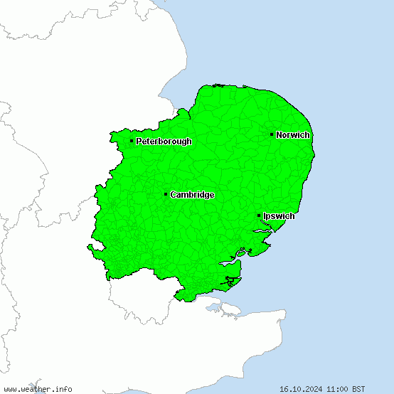
Warnings for heavy snow for the East of England
No active warnings Alert level dark green:
Active weather noticeAlert level yellow:
Severe weather watch Alert level orange:
Severe weather warning (moderate) Alert level red:
Severe weather warning (heavy) Alert level violet:
Severe weather warning (extreme)


The map gives an overview of all the heavy snowfall warnings for the East of England. On the graphic you can see at which locations respectively in which areas of the East of England heavy snowfalls and thereby large amounts of fresh snow and snow dangers are to be reckoned with. This may entail considerable traffic obstructions and snow damage in the East of England.
We distinguish between weather watches and weather warnings. Heavy snowfall watches for the East of England are issued if heavy snowfalls are probable but there are uncertainties about duration, intensity and/or the course of them. Heavy snowfall warnings for the East of England, in turn, are divided into three levels (orange, red, violet) that comply whith the expected depth of fresh snow. The detailed and reliable forecasts of such heavy snowfall events are very important especially for the winter road maintenance, the traffic and the accident service of the East of England. Professional and experienced meteorologists at the Severe Weather Centre continually adjust the heavy snow forecasts for the East of England manually and make them cutting-edge 24 hours a day.


